Meet our team
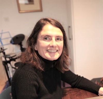
Ivana
CEO & Founder
Dr Barisin is a geomatics engineer who holds a MSc in GIS and a DPhil in geophysics from the University of Oxford. In her research, she has been working on developing geospatial imaging techniques for sub-pixel optical matching and InSAR to monitor Earth deformation from space, and applying image analysis to create models of earthquake. With over 30 years of experience working in the geospatial industry, Dr Barisin founded TerraMotus.
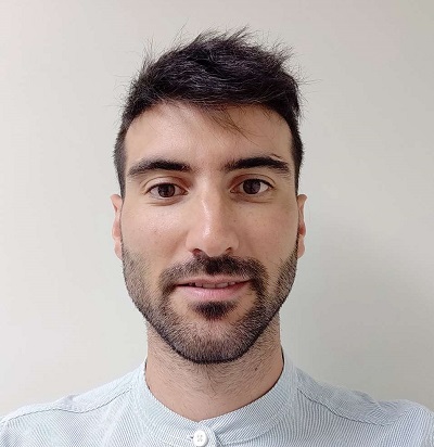
David
Geospatial data engineer
David Esteban's responsibilities are looking after the geospatial data services and help setting up the projects with geospatial data. David has 5 years of experience working on GIS projects in Ericsson. David holds a degree and a MSc in Forest Engineering from Technical University of Madrid.

Marin
Data Science Specialist
Data Science Specialist who performs the entire data science lifecycle, from data collection and preparation, to analysis and modeling for Earth Observation applications. Marin holds a Master of Data Science degree from the University of Zagreb, FER. Marin has several years of experience working as a student Software Developer and a Data Scientist.