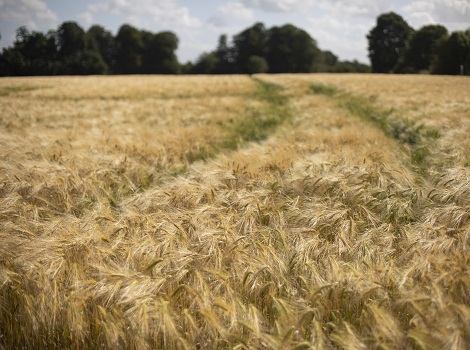
Agriculture has many benefits from satellite images and its applications. Mapping different species of crops, quantifying year crops, monitoring production, predicting diseases and their origins.
There is a strong demand for monitoring energy infrastructure in order to solve the most pressing challenges faced by the energy industry. Exploitation of remote sensing data is reliable and profitable.
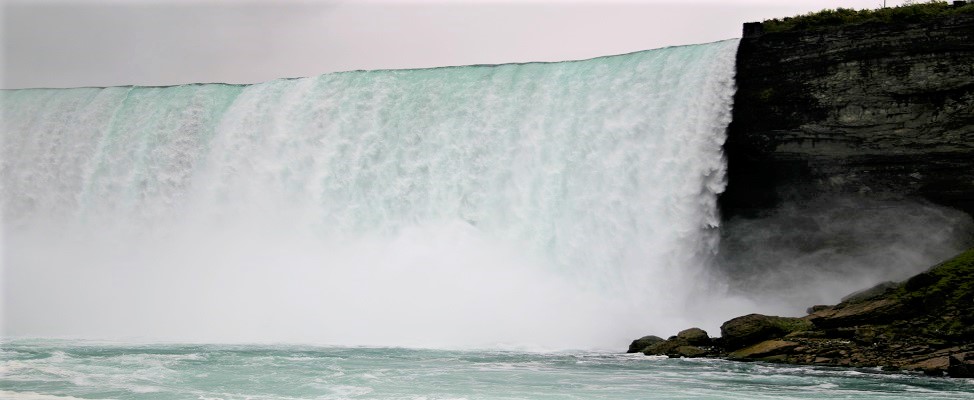
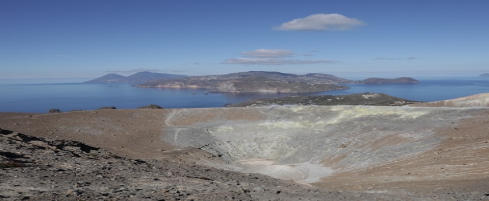
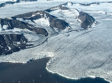
Satellites collect data for weather, climate, sea ice extent, forest fires, volcanic eruptions, and global vegetation analysis. The data improve resilience to climate variability and maintain the economic vitality.
Satellites monitor the entire planet and are an obvious component of an improved surveillance system. Recent and historical high-resolution data is available supporting the decision-making at any times.
Satellite data provides an opportunity to measure fine changes in the earth surface which are often precursors of an earthquake. Also, dentification of fire hot spots and the spread of fire events as well as monitoring and even predicting seismic activity.
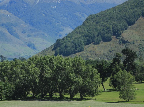
Very high-resolution imagery is detailed enough to show individual trees, which allows precise monitoring of forest assets. Detecting illegal logging, supporting firefighting efforts, identifying tree stress and pest infections.
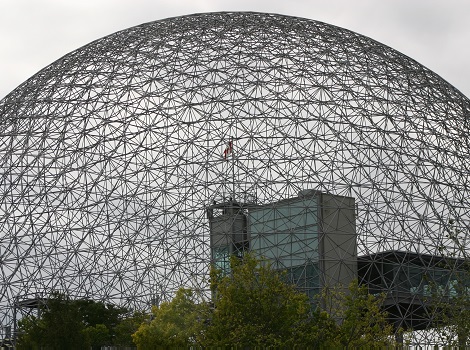
Analysing tremendous amounts of new and degrading infrastructure requires huge amounts of updated reliable data. Near real-time monitoring has become crucial to analyse and react to potentially damaging events.
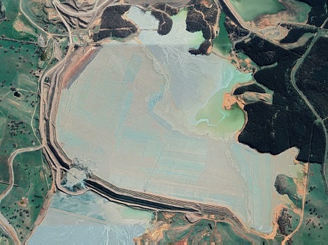
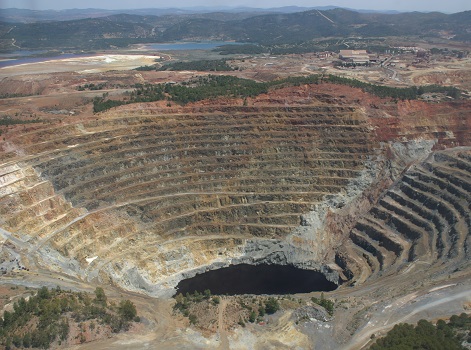
Ecological knowledge and satellite-based information can be effectively combined to address natural resource management needs. Geospatial and temporal data from satellites can transform performance in exploration, site planning and energy extraction.
Satellite data provides authoritative information about more than half of the 50 crucial climate change variables and offers weather forecasting, climate modelling and the ability to obtain real-time details.